
Article Categories
- All Categories
-
 Data Structure
-
 Networking
-
 RDBMS
RDBMS
-
 Operating System
-
 Java
Java
-
 MS Excel
-
 iOS
iOS
-
 HTML
HTML
-
 CSS
CSS
-
 Android
-
 Python
-
 C Programming
-
 C++
C++
-
 C#
C#
-
 MongoDB
-
 MySQL
MySQL
-
 Javascript
-
 PHP
PHP
-
 Economics & Finance
What is the full form of ERTS?
Introduction
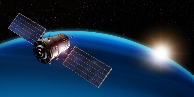
Earth Resources Technology Satellite (ERTS) was created to offer a worldwide picture of the Earth's land surfaces, seas, and atmosphere, etc.
Researchers were able to analyse numerous features of the Earth's surface, such as plant cover, land usage, and changes in water bodies, thanks to the satellite's multispectral scanner, which was equipped to record pictures in a variety of light wavelengths. The ERTS/Landsat program has undergone multiple revisions since its debut, with subsequent satellites carrying more sophisticated sensors and technology.
Launch and Development of ERTS
The first satellite to be launched with the intention of remotely sensing the Earth's land surfaces was called ERTS (Earth Resources Technology Satellite), subsequently renamed Landsat-1. The United States' federal government and commercial sector collaborated to create ERTS, with NASA serving as the project manager.
In order to monitor natural resources and land use trends from space, ERTS was initially suggested in the early 1960s. With an estimated $250 million in funding, NASA collaborated with a number of commercial businesses, including General Electric, Hughes Aircraft, and RCA, to construct the project.
On July 23, 1972, ERTS was launched atop a Delta rocket from Vandenberg Air Force Base in California. The satellite had two cameras that could take pictures of the Earth's surface in various spectral bands, enabling researchers to examine elements like vegetation, water supplies, and geological structures.
The ERTS launch ushered in a new age of satellite-based Earth observation and was a crucial turning point in the area of remote sensing. A number of Landsat satellites were later developed as a result of the ERTS mission's success, and many more Earth observation missions were launched by NASA and other space organisations throughout the globe. These satellites' data have been utilised for a variety of purposes, including as managing natural resources, responding to disasters, and doing climate research.
Objectives and Capabilities of ERTS
Data collection on the Earth's land surfaces using remote sensing methods was the main goal of the ERTS (Earth Resources Technology Satellite), subsequently called Landsat-1. With the help of its two cameras, multispectral scanner, and data recorder, the satellite was able to take pictures of the Earth's surface in a variety of spectral bands.
Numerous applications, such as land use planning, environmental monitoring, and natural resource management, made use of the data gathered by ERTS. For instance, the photographs from the satellite were used to map geological formations, measure water resources, and keep track of changes in plant cover. With information on the scope of damage brought on by natural catastrophes including hurricanes, floods, and earthquakes, ERTS data also played a crucial part in disaster response activities.
The capacity of ERTS to provide a constant and dependable source of data about the Earth's land surfaces was one of its primary characteristics. Prior to the debut of ERTS, data on the Earth's surface was mostly gathered through aerial photography or limited- resolution ground-based surveys. The Earth's surface could be seen globally from ERTS, which had a resolution of up to 80 metres.
Legacy and Impact of ERTS
Remote sensing was significantly impacted by ERTS (Earth Resources Technology Satellite), subsequently known as Landsat-1, which also ushered in a new age of satellite-based Earth observation. Natural resource management, land use planning, environmental monitoring, and other uses have all made use of the data gathered by ERTS, which has also improved knowledge of the dynamics of Earth's land surfaces.
The Landsat program, which consists of a number of Earth observation satellites and has been providing data on the Earth's land surfaces since the launch of Landsat-1 in 1972, is one of the main outcomes of ERTS. For more than four decades, the Landsat satellites have been a dependable and continuous source of information on the Earth's land surfaces, allowing scientists and decision-makers to track natural resources, record environmental changes, and keep track of land cover changes.

The advancement of remote sensing technology and its applications is another significant legacy of ERTS. Since ERTS was the first satellite launched specifically for remote sensing, NASA and other space agencies across the globe have launched countless more Earth observation missions as a result of its success. Since then, remote sensing technology has emerged as a crucial tool for a variety of industries, including climate research, natural resource management, disaster response, and environmental monitoring.
Additionally, the information gathered by ERTS has helped advance a number of scientific investigations and discoveries by revealing details on the dynamics of the Earth's land surfaces, including variations in plant cover, water availability, and geological formations. The degree of the damage brought on by natural catastrophes and the direction of relief activities were both determined by ERTS data, which has also been crucial in disaster response efforts.
Conclusion
The first satellite devoted to remote sensing of the Earth's surface was the Earth Resources Technology Satellite (ERTS). By providing regular, high-quality photos of the Earth's surface, it transformed our knowledge of the planet when it was first launched in 1972. The ERTS program laid the foundation for later Earth observation initiatives and showed how effective space-based remote sensing is for examining the globe. It has left behind a plethora of priceless information that has been used to a variety of fields, from agriculture to climate prediction. The ERTS initiative actually opened up new vistas in Earth science and made a significant contribution to our knowledge of the planet.
FAQs
Q1. How did the ERTS/Landsat-1 satellite work?
The Return Beam Vidicon (RBV) and the Multispectral Scanner System (MSS) were two sensors on board ERTS/Landsat-1 that could capture pictures of the Earth's land surfaces in the visible, infrared, and microwave spectrums. The satellite, which was orbiting the Earth at a height of around 920 kilometres (570 miles), acquired data as it travelled over various regions of the globe.
Q2. How long was the ERTS/Landsat-1 mission?
Although ERTS/Landsat-1 was intended to have a one-year mission life, it operated for more than six years, until January 6, 1978.
Q3. What was the impact of ERTS/Landsat-1 on Earth observation?
The first satellite launched exclusively for Earth observation, ERTS/Landsat-1, had a significant influence on remote sensing. Natural resource management, land use planning, and environmental monitoring are just a few of the uses for the data gathered by ERTS/Landsat-1 and later Landsat satellites. They have improved our knowledge of the dynamics of the Earth's land surfaces.

501 Views
